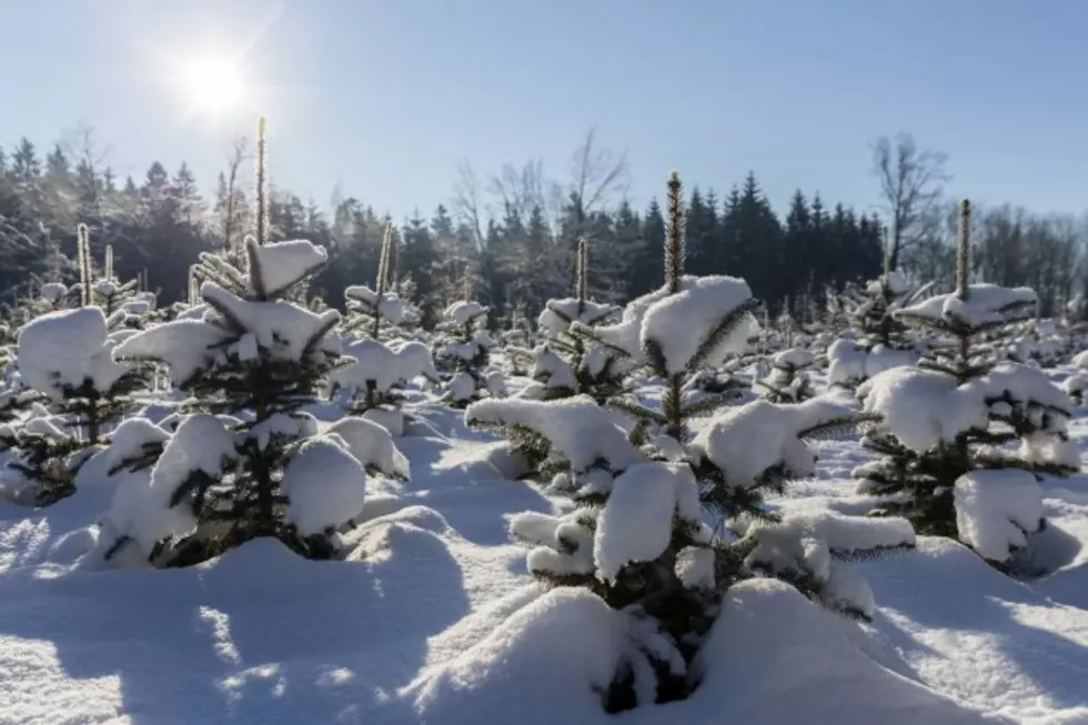
The Hudson Valley May Have a Chance For a White Christmas
If you're dreaming of a white Christmas, there's a chance that it may actually happen this year in the Hudson Valley.
While it's still a little too early to pinpoint the exact weather pattern for Santa's visit, looking at historic data and some upcoming weather events can tell us what we may expect.
Data compiled by NOAA shows that between 1981 and 2010 there was a 35% chance of seeing snow on December 25. According to The Weather Channel, however, our chances may even be better for this year. There seems to be an active weather pattern that may reach the Hudson Valley on Christmas week. Meteorologist Linda Lam says,
Temperatures are expected to remain near to above-average for most of the country over the next one to two weeks. An active pattern also looks likely heading towards Christmas week, which may bring the chance for snow.
If you really want to see a white Christmas, your best bet is to head towards one of the locations that NOAA shows with most consistent pattern for precipitation on the 25th. Those places include Idaho, Minnesota, Maine, Upstate New York, the Allegheny Mountains of Pennsylvania and West Virginia. Although, these places aren't even a lock this year. Lam says that this December has been warmer for much of the country, especially parts of the West where there has even been some record high temperatures.
Of course, the only way to really guarantee a white Christmas is to ask Santa himself... but the big guy is pretty busy right now and wasn't available for comment as of this printing.
More From WRRV-WRRB