What’s the Entire Deal With the Snowstorm?
Sorry for the Seinfeld-esque headline, but it's all confusing and conflicting. This will explain a lot of it to you.
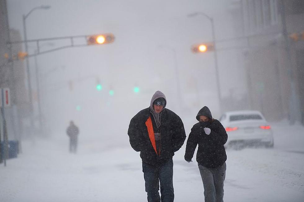
Every time one of these storms comes along, we get fed a whole lot of information. A lot of it conflicts with other information; do you listen to the Weather Channel? The National Weather Service? That dude at the gas station who was buying a 40oz of Big Bear malt liquor and telling you that "This one here's not going to be anything at all!"?
Not to mention all the graphics. THERE ARE SO MANY GRAPHICS! I can't tell the difference between the fuchsia that means 18" and the maroon that means 1" and where exactly the line falls--because, without fail, your city is EXACTLY where the colors change--and it's all just so overwhelming.
So, in my quest to figure it all out, I found this explainer from the Gawker Media weather blog The Vane. I'd copy and paste the parts I found important, but honestly, it's all pretty important info and it's laid out in a very efficient and effective way.
Of course, when it comes to any local and hyperlocal information, we'll post it right here at WRRV.com, but this blog made things very clear for me and I thought I'd pass it along.
Stay calm and stay safe.
More From WRRV-WRRB