How Much Rain Did the Hudson Valley Get This Weekend? Is There More On the Way?
Monday started the week off in the Hudson Valley with high temperatures in the mid-70s which is around average for this time of year. Skies have remained mostly sunny over the past few days, giving the area some time to dry out after this past weekend's rains.
How much rain did the Hudson Valley get this past Saturday, and are we still experiencing below-average rainfall so far this year?
How Much Rain Did We Get Over the Weekend? [MAP]
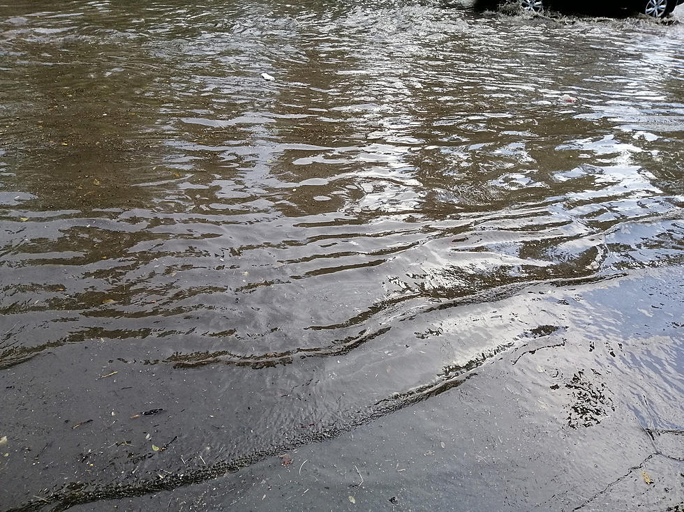
According to Hudson Valley Weather, Saturday brought rain to the region, but not quite as much rain as what was initially predicted. It may seem a little hard to believe if you're living in areas in the eastern part of the Hudson Valley, though other areas to the west didn't get nearly as much rainfall over the weekend.

The maps indicate that the heaviest totals stayed to the east of us in Connecticut and Massachusetts, where some areas saw over 2 inches of rain.
On average, the month of May is one of New York's rainiest months. According to US Climate Data, Poughkeepsie sees an average of around 4.71 inches of rain in May. The records at Extreme Weather Watch say that Poughkeepsie fell way below average for May rainfall this year, even with Saturday's soaking.
See Also: What is New York State's 24 Hour Record Rainfall Record?
Hudson Valley Forecast Ahead
The Weather Channel says that Tuesday will be much life Monday, with highs in the 70s and lows in the 40s, under partly cloudy skies.
The next best chance for rain will be Wednesday, as HVW says we will see scattered showers in the morning, and even a chance for some thunderstorms by the afternoon. The rain should start to clear out by Wednesday evening, with temps falling back down to the low 40s overnight.
The later part of the week will see temperatures cool off again, with highs only reaching the 60s by Thursday, and low 70s by Friday. The extended forecast for Memorial Day Weekend will see highs in the upper 70s, and lows near 50, with partly cloudy skies.