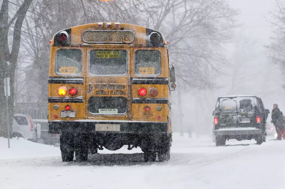
Timeline: Up To 16 Inches of Snow Forecast For Hudson Valley
Get ready! Forecasters are increasing snowfall totals for most of the Hudson Valley as they monitor a potential major snowstorm.
Temperatures were in the 50s across the Hudson Valley on Monday. They will reach the 50s again on Tuesday and then the region will see temps in the 60s on Wednesday.
Sadly, these spring-like temperatures are really just a tease as forecasters continue to monitor a major winter storm could head our way Thursday night into Friday.
The Weather Channel believes most of the region could see around 1 foot of snow or more. The Weather Channel updated its snowfall predictions, with more snow predicted for most of the region.

Below are snowfall predictions from the Weather Channel for this week's potential snow as of Tuesday morning:
Note: A timeline for when snow is expected to fall is below the snowfall predictions.
CLICK HERE for the updated timeline and snow predictions.
Snow Timeline
Metoroglist Ben Noll issued a "three-day weekend alert" for the Hudson Valley schools.

Noll believes a wintry mix of snow, sleet, and possibly freezing rain is expected to start early Friday morning. He believes snow will start falling during the early hours of Friday morning, well before the morning rush hour.
"A changeover to sleet, and possibly freezing rain, looks likely on Friday morning. A glaze of ice is likely but it’s a bit premature to talk total ice accretion. Precipitation will ease on Friday afternoon, but it will still be rather messy leading up to the PM commute," Noll wrote on Facebook Tuesday morning. "Improved conditions on Saturday, although the temperature may not rise above freezing until Sunday."
Noll says at this point his "confidence is higher than normal" about a major winter storm. His snowfall predictions are less than The Weather Channell.
Noll is currently predicting 3 to 6 inches of snow for most of the region but adds Dutchess and Ulster Counties could get over 6 inches.
"Several inches of accumulation are possible. Total snowfall will be variable across the region and based upon how much sleet falls. The highest amounts are expected north of I-84. Subject to change, but a 3-6 inch storm seems like a decent bet at this point. Some areas north of I-84 (e.g. Ulster, Dutchess) could receive more than 6 inches," Noll writes.
Hudson Valley Weather
Hudson Valley Weather believes it's too early to make snowfall predictions but says to plan for snow on Friday.

"What we can confidently say that it’s best to factor into your plans a heavy impact on both Friday commutes due to the potential for multiple types of winter precipitation. Just who gets what type and how much will likely be determined on a north to south gradient across the region," Hudson Valley Weather wrote.
Winter Travel Tips in New York
15 Signs That Winter Will be Bad
Gallery Credit: Paty Quyn
11 Stunning Photos of the Hudson Valley in the Winter
More From WRRV-WRRB