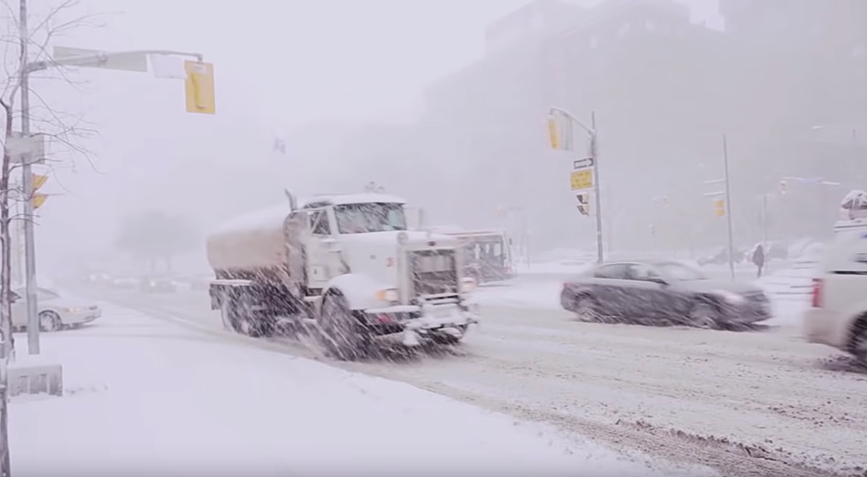
Winter Storm Watch Issued, ‘Travel Could Be Impossible’
A Winter Storm Watch was issued in the Hudson Valley. Parts of the area could see up to 14 inches of snow and sleet.
On Friday, The National Weather Service issued a Winter Storm Watch for Ulster and Dutchess counties from 7 a.m Sunday until 7 p.m. Monday. According to the National Weather Service, "there is the potential for significant winter weather that may impact travel."
Heavy mixed precipitation possible including snow, sleet and freezing rain. Total snow and sleet accumulations potentially of 9 inches or more, the National Weather Service reports.
"Travel could be very difficult to impossible. The hazardous conditions could impact the morning or evening commutes Sunday and Monday," The National Weather Service warns.
A Winter Storm Watch was also issued in Sullivan County Sunday morning into Monday evening where 8 to 14 inches of snow is currently predicted.
A period of snow and sleet will move through the area Sunday morning, before mixing with freezing rain in the afternoon and evening hours. Another period of steady or even heavy snow is forecast for Sunday night into Monday. Snowfall rates could reach 2 inches per hour at times, especially Sunday night and Monday, the National Weather Service forecasts for Sullivan County.
As of this writing, the National Weather Service has issued a Hazardous Weather Outlook for Orange, Putnam, Rockland, and Westchester counties.
"Confidence is increasing in a slow moving low pressure system bringing snow and wintry mix to the region Sunday through Monday night. There is potential for several inches of snowfall during this time period, along with a wintry mix at times, causing significant travel impacts to the Sunday afternoon/evening through Monday night timeframe," The National Weather Service wrote in its outlook for Orange, Putnam, Rockland, and Westchester counties.

- 'Deadly' Drug-Resistant Superbug Spreading In Hudson Valley
- Hudson Valley Doctor Accused of Stealing Millions From Patients
- Newborn Baby Found Dead in Vacant Lot in Hudson Valley
- Fire Destroys Hudson Valley Animal Sanctuary
- New Details Surrounding Former Newburgh Teacher's Disappearance
- Police Seek Help After Elderly Woman Raped in Newburgh
- Help Needed In Finding Teen Who Went Missing From Dutchess County
More From WRRV-WRRB


