Tropical Storm Fred to Bring Heavy Rain, Threat For Severe Weather to Hudson Valley
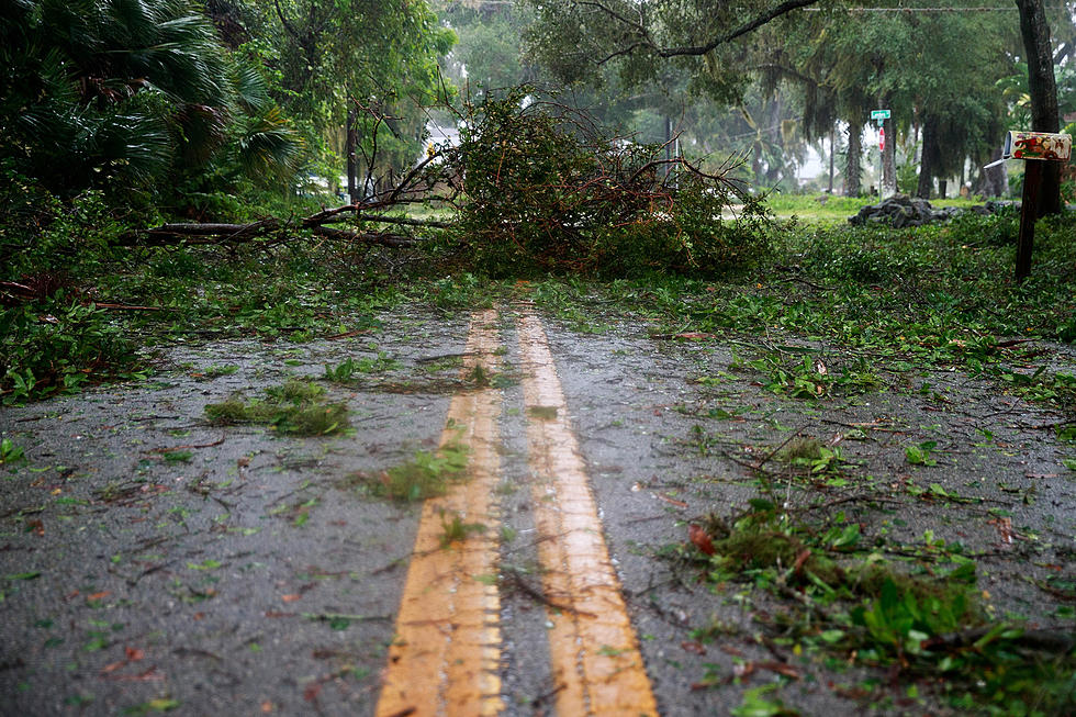
The remnants of Tropical Storm Fred continue to move inland and up the east coast. The storm has already brought widespread flooding, and even tornadoes across many areas in the the Southeast and Mid-Atlantic. Now, as the storm continues its northward journey, should we brace for flooding rains here in the Hudson Valley and the Catskills? Hudson Valley Weather says there is indeed the potential for localised flooding and severe thunderstorms as the storm moves through.
Forecast say the rain should arrive sometime after sundown, with the heaviest rainfall between 8 PM Wednesday and 8 AM Thursday. Hudson Valley Weather says that rainfall amounts should vary between half an inch to over two inches in parts of the area. Some higher areas in the Catskills could receive even higher amounts, bringing the greater threat for flash flooding. Other parts of New York state, including the Southern Tier, and north of the Capitol Region, could see over three inches of rain.
Hudson Valley Weather also says that the Hudson Valley should be on the lookout for severe weather, including the outside chance for a tornado. Tropical storms and hurricanes do bring the threat of tornadoes as they move inland, especially towards the southeast side of the storm's circulation. The path of Fred will bring that side of circulation right over the Hudson Valley, so the possibility of a line of severe thunderstorms developing overnight is not out of the question. Aside from any sort of tornado threat, wind gusts should remain around 20 to 30 MPH, according to HVW, so the biggest weather issue here will likely be heavy rain.
And while most what's left of Fred should be out of the area by around the middle of Thursday, the Hudson Valley and Northeast should be aware of the next tropical storm that could affect the area by early next week, if it's path continues to shift towards the northwest. The Weather Channel says Tropical Storm Henri could even be a hurricane by the weekend, and it could move inland in out general direction.
TIPS: Here's how you can prepare for power outages
KEEP READING: What to do after a tornado strikes
LOOK: The most expensive weather and climate disasters in recent decades
Gallery Credit: KATELYN LEBOFF
More From WRRV-WRRB