Winter Storm Watch: 10 Inches of Snow Predicted For Hudson Valley
The entire region is under a Winter Storm Watch as up to 10 inches of snow is projected. Here's the timeline for another round of snow.

Hudson Valley Weather believes light snow will develop from south to north between 7 a.m. and 1 p.m. on Thursday with snow becoming steadier and more widespread between 1 p.m. and 6 p.m. Thursday. There should be periods of snow from 6 p.m. Thursday to 6 a.m. Friday with periods of light snow likely between 6 a.m. and 6 p.m. Friday.
As of this writing, Hudson Valley Weather predicts 4 to 8 inches of snow for the Hudson Valley, while some areas could see 10 inches.
"The details of how this event will unfold are a bit unclear, but hopefully will resolve themselves on Wednesday. But for now, the potential exists for a moderate snowfall across the region," Hudson Valley Weather said.
The National Weather Service has issued a "Winter Storm Watch" for the entire Hudson Valley until Friday afternoon.
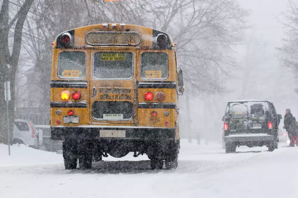
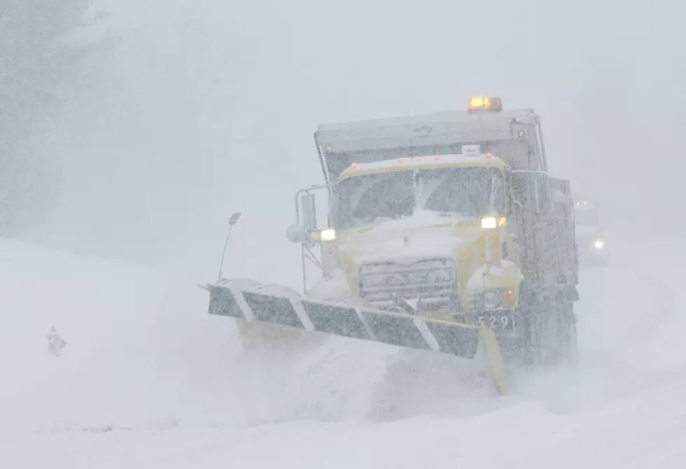
"Travel could be very difficult. The hazardous conditions could impact the morning or evening commutes," The National Weather Service wrote in its "Winter Storm Watch.
The National Weather Service believes Orange and Putnam Counties will see 5 to 10 inches of snow, with 4 to 8 inches of snow falling in Ulster, Dutchess, Rockland and Westchester counties and around 5 inches of snow for Sullivan County.
The Weather Channel projects 3 to 9 inches of snow for Orange, Dutchess, Rockland and Westchester counties; 3 to 7 inches of snow for Putnam and Sullivan counties; and 3 to 5 inches of snow for Ulster County.
For all the news that the Hudson Valley is sharing make sure to follow Hudson Valley Post on Facebook, download the Hudson Valley Post Mobile App and sign up for the Hudson Valley Post newsletter.
25 Insane Photos of Snowstorm in the Hudson Valley
More From WRRV-WRRB